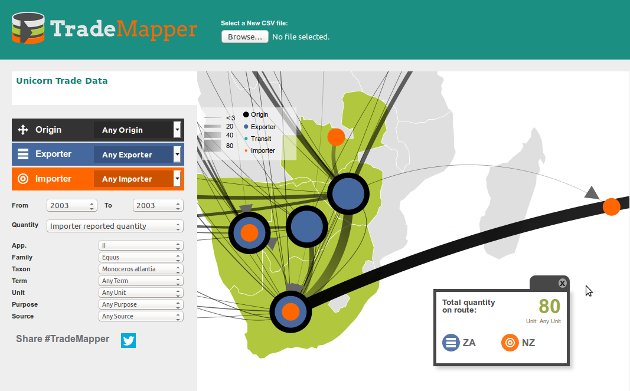
This is TradeMapper

TradeMapper is a browser-based tool we developed for WWF and TRAFFIC to
work with data about international trade in wildlife (though you could use it
with any kind of data about international flows). It draws flows of traded
items as lines on a world map; wider lines show bigger quantities; and coloured
dots show the role of countries along the route. You can zoom (scroll wheel)
and pan (drag) the map, and filter the data by column values to get insights
about what your data means.
Try it out right away with test data or download a csv from the trade database maintained by CITES.
TradeMapper is work in progress so there are some rough edges. Fork us on Github and help make it better.
